Until about 1950 Fernhill was largely open farmland overlooked by Fernhill House (c.1870); widespread post-war building from the 1950s–60s turned the estate into modern suburban housing, though the area still benefits from elevated views toward Glasgow and retains community churches and facilities tied to the land-use change after World War II.
Springhall is a compact 1960s local authority estate centred on a community centre and library (recently refurbished 2019–2021); its playing fields sit on the site of the former Boultrie Loch, once a popular winter curling and skating spot, and local signage still references that vanished waterbody.
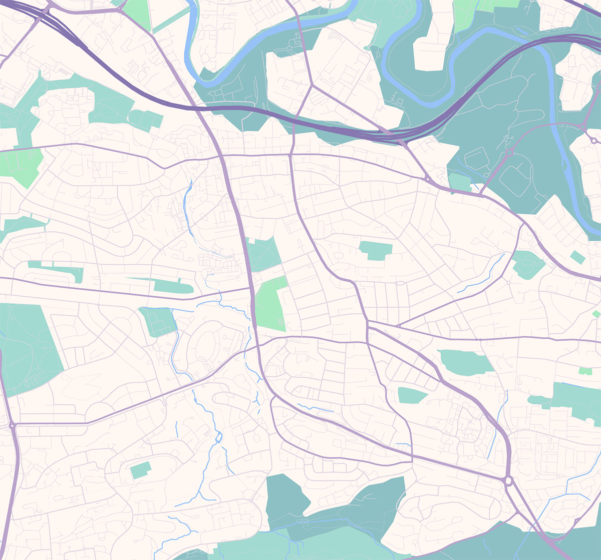
Cathkin (and the Cathkin Braes) is the high ground to the south of the town — historic Cathkin House dates to 1799 — and the Braes are known for their panoramic viewpoints, woodland and sporting use: they hosted mountain-bike events during the 2014 Commonwealth Games and were a 19th-century Radical War rallying area, linking landscape with both recreation and political history.
Blairbeth grew on the footprint of Blairbeth House (a late 18th–early 19th century mansion demolished around the 1950s) and retains a mix of Victorian villas in its oldest streets plus post-war council housing; Rutherglen Heritage research recounts colourful previous residents — from Georgian silversmiths to industrial managers — whose stories reflect the gradual suburbanisation of the area.
Burnside developed as a leafy commuter suburb and is served by Burnside railway station, opened on 1 August 1904 by the Lanarkshire and Ayrshire Railway; the station and local villas helped establish Burnside’s reputation as an attractive residential enclave for Glasgow workers in the 20th century.
Eastfield began life as a small country estate with an estate house and burn; by the late 19th century the area contained brickworks, the Wellshot brewery and miner’s cottages along Cambuslang Road, and Eastfield Public School opened in 1898 to serve the growing community. In the 20th century it evolved into a residential suburb linking Rutherglen and Cambuslang and later accommodated Trinity High School (originally built 1970 and rebuilt 2010), reflecting its role in post war suburban expansion.
Bankhead, to the southwest of the Main Street, contains housing from several 20th century phases (notably 1930s pebble dashed cottage flats) and modest commercial rows; local memoirs and the Rutherglen Heritage project preserve residents’ recollections of day-to-day life here across the 1940s–1960s, making the area a good example of social history recorded through personal stories rather than grand monuments.
Burnhill sits northwest of the town centre and was once a cluster of older streets cut into by 20th century road schemes; its Victorian Munro United Free Church (dated c.1850) remained an important landmark until congregation changes in the 21st century. The neighbourhood has a strong local action group and sport facilities: in 2009 Rutherglen Glencairn F.C. moved to the new Celsius (Southcroft) Stadium on the Burnhill side of the railway, illustrating the area’s continued sporting and community focus.
Farme Cross (Farme / Farmcross) emerged from the Farme estate — once centred on Farme Castle, a medieval/15thncentury keep — and by the 19th century the estate was developing coal pits and industry under owners such as the Farie/Crawford families; the castle and house survived until the midn20th century when industrial expansion and demolition changed the landscape.
The town centre is the ancient heart of Rutherglen — a Royal Burgh granted a charter by King David I in 1126 — and contains the Victorian Town Hall (designed by Charles Wilson, foundation laid 16 July 1861 and opened 1862), which symbolises civic pride during the industrial era when mining and manufacturing grew up around the burgh.
Gallowflat takes its name from a once grand house (Gallowflat House, built c.1760s and demolished in the early 20th century) and is notable for a large grassy mound in a public recreation area — when a ditch was widened in 1773 a stone-lined passage and early AD artefacts were reportedly found, suggesting an ancient funerary or ritual use for the mound long before the later estate landscape.
Built largely as a post World War II housing scheme on the site of old Spittal Farm, the oval street pattern and central primary school (completed in the midn1950s) mark Spittal’s mid 20th century identity; the estate’s street names and layout reflect planned community design from that era and a later new community centre was added in the 21st century.
Shawfield was heavily industrialised from the 19th century: J & J White’s Shawfield Chemical Works and tannery employed many local people but left a legacy of chromium contamination that attracted environmental remediation efforts in the late 20th and early 21st centuries; the area also hosted the Shawfield Stadium and other light industry while being the subject of recent regeneration planning.